
Design · Sloped lots
Topographic survey and site plan
In short
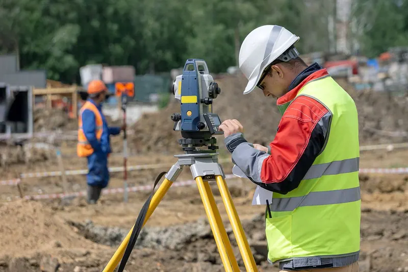
A topographic plan shows the terrain and features of a lot: elevations, slopes, contour lines, buildings, trees, ditches and watercourses. The land surveyor prepares it from a survey done with a total station or precision GPS. It's the base your architect, engineer or technologist uses to design your project.
When do you need it?
- You're designing a house or cottage on a sloped lot
- Your septic system or well designer needs one
- You're planning drainage, a retaining wall or major landscaping
- You need cut-and-fill volumes
- Your lot is near water and elevations matter
What the mandate includes
- Field survey with total station or precision GPS
- Spot elevations and contour lines
- Buildings, trees, ditches, watercourses and other useful features
- Elevations tied to the geodetic network, if needed
- PDF plan and digital file for your designers, on request
How the plan is used
The architect uses it to place the house and design the foundation for the slope. The engineer uses it for drainage and retaining walls. The septic designer uses it to find where the leaching field will work and meet the required distances. One good survey serves everyone. Ask your designers what they need to see before we go out.
Sloped lots and by-laws
Many Laurentian municipalities regulate building on steep slopes and near the top of embankments. A topographic plan shows exactly where the project sits in relation to those areas. It's often what unlocks a permit application.
Elevations near the water
On a lake or river, a few dozen centimetres of elevation can change what's allowed. Precise elevations tied to the geodetic network place your lot in relation to flood zones. See also Waterfront properties.
Timelines and cost
Price depends on the area to survey, vegetation, the point density needed and the deliverables. A wooded lot takes longer than an open one. In spring and fall, without snow or heavy foliage, the survey is faster and more accurate.
Useful documents to send us
- The address or lot number
- What your designers need (area, features, file format)
- Your certificate of location, if any
- When your designers need the plan
None of this is required to get a quote. The address is enough to get started.
Steps
How it works
-
Needs
We confirm with you, and with your designer if needed, what the plan must show.
-
Survey
Our crew measures the site with a total station or precision GPS.
-
Processing
We compute elevations, draw contours and prepare the plan.
-
Delivery
You receive the PDF plan and, on request, the digital file for your designers.
Your architect is waiting for the site survey? We can help.
Service areas
Topographic survey from Laval to Mont-Tremblant
Our office is in Val-David. Pick your town to see what makes it different.
FAQ
Frequently asked questions: topographic survey
What's the difference from a certificate of location?
The certificate is for a transaction: lot lines, buildings and compliance. The topographic plan is for design: terrain and site features.
My septic designer asked for a plan. Is this it?
Often, yes. Ask for the list of what they need and send it to us; we'll plan the survey around it.
Can you survey in winter?
Yes, but snow hides the ground and skews elevations. For an accurate plan, spring and fall are better.
Will I get a digital file?
On request, yes, in a format compatible with your designers' drafting software. Mention it when you order.
Related services
For a project on your lot
Building layout and implantation plan
The permit plan and foundation staking.
Waterfront properties
Shoreline buffer and flood zones.
Subdivision and cadastral operations
Splitting a lot or creating new lots.
No-obligation quote
Request your quote: topographic survey
Send us the property address and your deadline. We'll call to confirm the details, then send you a written price and timeline.
- 418 265-9419
- info@arpenteurlaurentides.com
- 1534, rue Vinet, Val-David, QC J0T 2N0
- Monday to Friday, 8 a.m. to 5 p.m.