
Sainte-Agathe-des-Monts · Les Laurentides RCM
Waterfront survey in Sainte-Agathe-des-Monts
In short
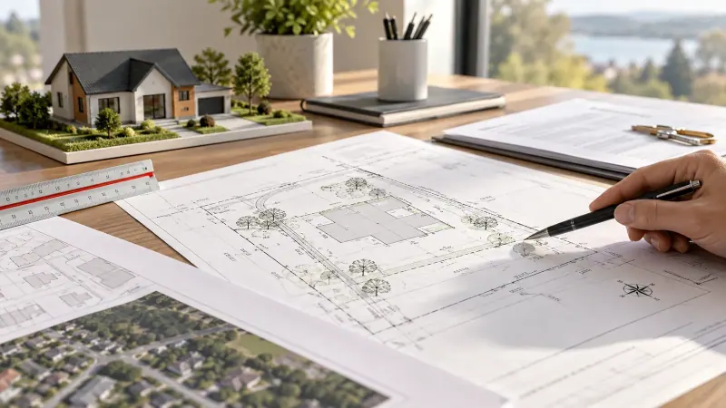
Around Lac des Sables and the other lakes of Sainte-Agathe-des-Monts, what you can do near the water depends on the high-water mark and the shoreline buffer. We place those limits on a plan in relation to your buildings and project. That plan is what the City reviews before issuing a permit.
What often comes up in Sainte-Agathe-des-Monts
- High-water mark and shoreline buffer on your lot
- Docks, boathouses and shoreline work
- Retaining walls and riprap at the water
- Septic system to replace near the lake
- Older cottages in the buffer: acquired rights and additions
What the mandate includes
- Survey of the shoreline, buildings and lot elevations
- High-water mark placed on the plan
- Shoreline buffer and known flood zones drawn
- Plan for your permit application
- An explanation of what the plan allows
Around Lac des Sables
Lac des Sables is at the heart of the town, and many waterfront properties there were built long ago. That means many buildings sit close to the water, sometimes inside the buffer. They may have acquired rights, but additions and rebuilds are regulated. A precise plan lets the planning department give you a clear answer.
Expanding or renovating on the water
Before expanding a cottage, rebuilding a wall or installing a dock, you need to know exactly where the high-water mark and shoreline buffer are. Depending on the case, a biologist or other specialist determines the high-water mark, and we place it precisely on the plan with your buildings and project. Elevations from a topographic survey complete the picture.
We also work in Ivry-sur-le-Lac, Val-des-Lacs and the other neighbouring municipalities. See Land surveyor in Sainte-Agathe-des-Monts.
Useful documents to send us
- The address or lot number
- Your certificate of location
- Your project (sketch, plans) and municipal requirements
- Any existing study of the shoreline or high-water mark
Steps
How it works
-
Review
We review your project, municipal rules and existing shoreline data.
-
Survey
We measure the shoreline, buildings and lot elevations.
-
Plan
We place the high-water mark, the buffer and flood zones on the plan.
-
Explanation
You receive the plan and we explain what it allows for your project.
A project on the water? Let's start by finding out what's allowed.
FAQ
Frequently asked questions: waterfront surveys in Sainte-Agathe-des-Monts
Can I rebuild my retaining wall on the lake?
Shoreline work is regulated and generally requires a permit. A plan showing the high-water mark, buffer and existing wall is the first step.
Who determines the high-water mark?
Depending on the case, a specialist such as a biologist determines it, or it is established from existing data. We survey it and place it precisely on the plan.
Learn more
Waterfront surveys and Sainte-Agathe-des-Monts
All about: waterfront properties
What the surveyor checks, timelines, costs and frequently asked questions.
Land surveyor in Sainte-Agathe-des-Monts
Other services requested in Sainte-Agathe-des-Monts and the neighbouring municipalities we serve.
No-obligation quote
Waterfront surveys in Sainte-Agathe-des-Monts: your quote
Send us the property address and your deadline. We'll call to confirm the details, then send a written price and timeline.
- 418 265-9419
- info@arpenteurlaurentides.com
- 1534, rue Vinet, Val-David, QC J0T 2N0
- Monday to Friday, 8 a.m. to 5 p.m.